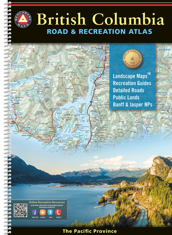
British Columbia Road & Recreation Atlas
$ 92.55
Winner of two awards at the Esri User Conference in July 2023: 1st Place – Reference Map ICA and IMIA Recognition of Excellence in Cartography The 1st edition British Columbia Road & Recreation Atlas, extensively researched and field-checked, brings Benchmark’s trusted brand of cartography to BC’s varied and expansive landscapes. It showcases the province’s endless recreation opportunities alongside its stunning geography. Landscape Maps™ offer the most detailed view of the province with 118 pages of maps filled with points of interest, geographic features, and a vast network of roads classified to reflect conditions on the ground. The Recreation Guide showcases regional maps alongside categorized listings of travel destinations and recreation opportunities, making it the ideal planning tool for quick weekend getaways or extended adventures. Benchmark’s award-winning team of field-checkers, cartographers, and editors has been hard at work to make the British Columbia Road & Recreation Atlas the most accurate, comprehensive, and reliable map product ever published for British Columbia. *We can only ship direct online orders to addresses in the United States. For shipments to addresses in Canada, we recommend Amazon which will have this title very soon. Landscape Maps Detailed shaded relief, tinted to illustrate land use & vegetation Public land boundaries First Nation lands and place names Detailed roads and recreation points of interest Includes Banff & Jasper National Parks and the Icefields Parkway in Alberta Recreation Guide Regional maps with public lands, points of interest, point-to-point distances, hunting units, and more Categorized listings include National & Provincial Parks, Trails, Campgrounds & RV Parks, Fishing & Boating, Museums & Historic Sites, and more Dedicated pages for Mountain Recreation (Skiing, Mountain Biking, Climbing) and the Okanagan Valley Wine Region Dimensions: 11″ x 15″ x .5″. 176 Pages. 1st Edition, 2024. Spiral-bound; ISBN 9798986387901 Map Scales: Landscape Maps 1:300,000 (1″= 4.7 miles or 1cm = 3 km) Recreation Maps 1:1,100,000 (1″=17.3 miles or 1cm = 11km) Watch the video below for an introduction to the 1st edition British Columbia Road & Recreation Atlas! Benchmark Maps can be found at fine retailers including:
Top Post
 Ghee for Hair Loss & GrowthJanuary 27, 2013 - 11:14 pm
 Panchagavya & Organic Farming TechniquesJanuary 6, 2013 - 10:06 pm
 Gomutra Ark – As Immunomodulatory & Antioxidant AgentJanuary 6, 2013 - 5:07 pm
Latest Post
 East India | Patanjali Chikitsalaya Center List – 2017October 30, 2017 - 10:48 am
- West India | Patanjali Chikitsalaya Center List – 2017October 30, 2017 - 10:48 am
- South India | Patanjali Chikitsalaya Center List – 2017October 30, 2017 - 10:48 am
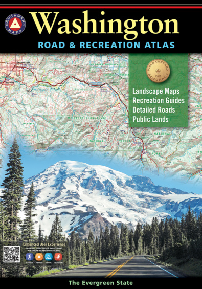 Washington Road & Recreation Atlas
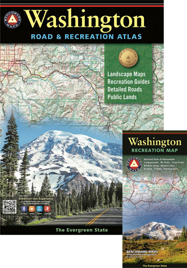 Washington Atlas & Map Bundle
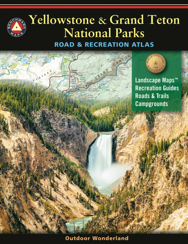 Yellowstone & Grand Teton National Parks – Road & Recreation Atlas